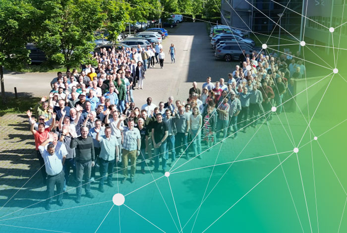
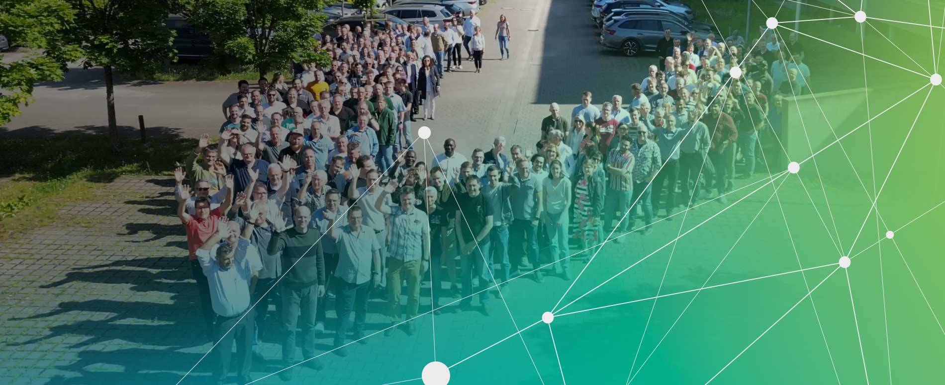
Geographic Information Systems (GIS)
Caigos GmbH, Kirkel
CAIGOS GmbH offers a comprehensive portfolio of products and services. As a member of VIVAVIS CAIGOS is your ideal partner for geographic information processing.
CAIGOS designs and develops systems for the management of geo-referenced information and data, for public administration, for utility companies and for the industry.
CAIGOS-GIS offers more than forty applications in different areas, from basic applications for regions and municipalities to special solutions for power, gas and water supply systems, as well as environmental protection.
Geobasis
CAIGOS-GIS is a scalable and powerful geographical information system. It is based on a service concept that is capable of processing data individually and according to the customer’s requirements. CAIGOS-GIS is particularly suitable for large-scale projects, thanks to its modern architecture and its flexible administration of users and rights. Working with CAIGOS is based on the technical applications ALKIS, ALB, and ATKIS.
Special Applications for Utilities and Wastewater Systems
The special CAIGOS applications are particularly suitable for the acquisition, evaluation and management of supply network data (electricity, water, heat etc.).
CAIGOS applications for wastewater systems have been developed especially for the acquisition, evaluation and management of wastewater network data. Wastewater systems, however, that are not part of the utilities network, such as small sewage plants and indirect dischargers can also be managed by means of this application.
Special Applications for Municipal Infrastructures
This application enables the visualization and evaluation of the entire municipal infrastructure, irrespective of which special technical applications are used. Thus, operators have a clear overview of the system as a whole and of the overall infrastructure, and are able to see interrelationships as well as potential for improvement.
Municipal properties are an essential part of the German NKF (New Municipal Finance Management). The “CAIGOS-Liegenschaften” application helps you to manage the economic aspects of municipal properties. CAIGOS-Liegenschaften provides all the important functions for a variety of applications, from the management of contracts to the assessment of municipal areas.
Services Around CAIGOS-GIS
In the development of CAIGOS products, right from the start the focus was primarily on the openness of the system. Features for data exchange with other systems, as well as easy integration into existing IT environments have always been at the core of our philosophy.
We are happy to offer further services on the following topics:
- Geodata management
- Split wastewater charges
- Recurrent road maintenance charges
- Global calculation
- Transmission rights of municipal utilities
- Project-specific surveying works
- Digital orthophotos and aerial photographs
The most important part of user-oriented GeoIT solutions are comprehensive, high-quality and up-to-date geodata that are adapted to their respective purpose in the customer’s work processes. We are happy to support you in all problems and tasks around the management of your geodata. The availability of geodata is the basis to enable you to enjoy using your CAIGOS GeoIT solution.